
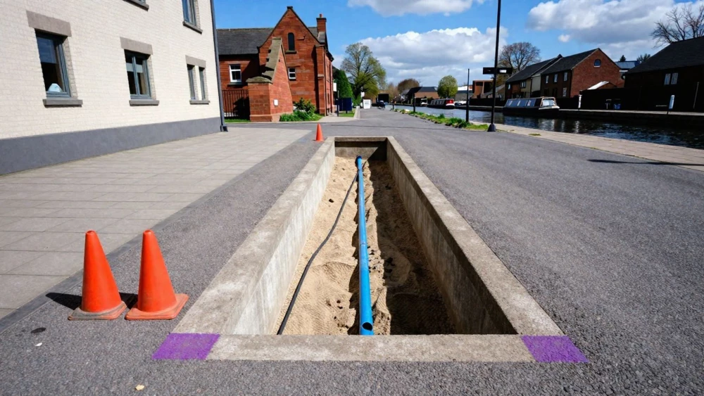
PAS 128 Surveys
Get in TouchAt Coventry Surveys, we specialise in conducting comprehensive PAS 128 surveys , providing essential underground utility mapping. Our service covers detecting and mapping utilities ranging from electrical cables to water mains.
We use state-of-the-art equipment such as Ground Penetrating Radar (GPR) and Electromagnetic Location (EML) methods, ensuring precise and reliable data for construction, renovation, and development projects. Get in touch with us to ensure safe and informed planning for your project.
How Much Does a PAS 128 Survey Cost?
A PAS 128 survey typically costs between £800 and £1,500, depending on the complexity and size of the site. The cost is influenced by factors such as the site's location, the level of detail required, and any specific accessibility challenges.
The survey involves several detection methods, such as electromagnetic location (EML) and ground-penetrating radar (GPR), which help in identifying subsurface utilities. Larger sites may require extensive EML to map utilities such as electricity, water, and telecommunications.
Accessibility can be hampered by existing infrastructure or natural features, necessitating more time or specialised equipment. Surveys are aligned with PAS 128 standards, ensuring results meet industry expectations.
Typical surveys may range from non-intrusive surveys to more comprehensive investigations requiring greater detail and precision. For an accurate quote tailored to your project needs, contact us today.
What Are the Types of PAS 128 Surveys Available?
PAS 128 surveys are categorised into different stages, each suited to specific project needs:
Type D Survey: This involves a desktop utility record search, relying on existing records from utility companies. Ideal for preliminary planning, it helps identify potential underground assets early on.
Type C Survey: A basic estimation conducted via site reconnaissance, Type C surveys involve checking visible features and markings. It provides an overview that aids in planning site layouts without intrusive methods.
Type B Survey: Detection using non-intrusive techniques such as Ground Penetrating Radar (GPR) and Electro-Magnetic Location (EML). These methods offer a detailed mapping of subsurface utilities, typically accurate to 0.1 metres.
Type A Survey: Verification through physical inspection by safely exposing utilities through methods like vacuum excavation. This is necessary for confirming location and depth, especially for construction designs.
Our team can guide you in selecting the right survey type for your project's requirements, considering factors such as the complexity of the existing network and the planned construction activities.
How Does a PAS 128 Survey Work?
Conducting a PAS 128 survey involves several steps designed to accurately map underground utilities:
Initial Planning: We start by understanding project requirements, assessing the site conditions, and determining the survey type from Type D (desktop search) to Type A (verification). This step may involve consulting with stakeholders to ensure thorough planning.
Data Collection: We employ Ground Penetrating Radar (GPR) and Electromagnetic Location (EML) to detect the presence and position of underground utilities such as cables, pipes, and conduits. GPR is particularly useful for non-metallic utilities, while EML excels at locating metal pipes and cables.
Analysis: Our team processes and interprets the data to create an accurate map, often using Geographic Information System (GIS) software for detailed representation. This analysis helps identify the depth and type of utilities present.
Reporting: We compile a report that aligns with PAS 128 standards, providing clarity and precision for engineers and developers, and offering insights into potential risks and construction challenges.
This structured approach ensures accuracy and reliability in the survey results. Call us today to book your survey.
How Long Does a PAS 128 Survey Take?
Most PAS 128 surveys are completed within two to three days, depending on the project's scope and site conditions. This timeframe includes the use of technologies such as Ground Penetrating Radar (GPR) to detect subsurface utilities accurately and electro-magnetic locators to identify metallic pipes or cables.
Larger or more complex sites, which might involve congested underground networks or challenging terrain, may take slightly longer, particularly if access is limited or detailed CCTV drain inspections are required to map existing drainage systems in detail.
All our surveys comply with PAS 128 standards, ensuring reliable results whether for infrastructure planning, construction, or public sector projects. For an estimated timeframe for your specific needs, please contact us.
Speak to a PAS 128 Surveys Expert
Why Choose Coventry Surveys for PAS 128 Surveys?
Coventry Surveys is your trusted partner for PAS 128 surveys . Our experienced team uses ground-penetrating radar (GPR) and electromagnetic location (EML) to deliver high-precision mapping solutions.
We use Trimble and Leica equipment to ensure the highest accuracy in capturing subsurface utilities. Our process adheres to strict PAS 128 methodology, including M1 to M4 survey accuracy levels, by implementing both Type A and Type B survey methods where applicable.
We pride ourselves on thoroughness, ensuring your project begins on a solid foundation with detailed utility maps. Committed to meeting UK regulatory standards such as those set by the British Standards Institution (BSI), we ensure your development is safe and compliant.
Our surveys help reduce the risk of utility strikes, saving time and cost during construction. Request a free consultation today.
Frequently Asked Questions
How do I maintain the results of a PAS 128 Survey?
Maintaining the results requires storing the digital reports securely and regularly updating records if further developments occur. For detailed guidance, consult with our team.
What guarantee comes with a PAS 128 Survey from Coventry Surveys?
Our PAS 128 surveys are conducted to professional standards, ensuring clarity and accuracy in detecting underground utilities. We provide consultations for any queries post-survey.
Can I pay for a PAS 128 Survey in instalments?
Currently, we do not offer instalment payments. However, we provide comprehensive quotes with no hidden fees to help with budgeting.
Which areas do you cover for PAS 128 Surveys?
We conduct PAS 128 surveys. Whether you're planning a small-scale project or a large development, our team is here to assist.
Is special permission required to conduct a PAS 128 Survey?
Generally, no special permission is required for PAS 128 surveys. However, it is essential to coordinate with local authorities and utility providers for access and information.
Get a Free Quote for PAS 128 Surveys
Contact Coventry Surveys for a precise and professional PAS 128 survey today.